


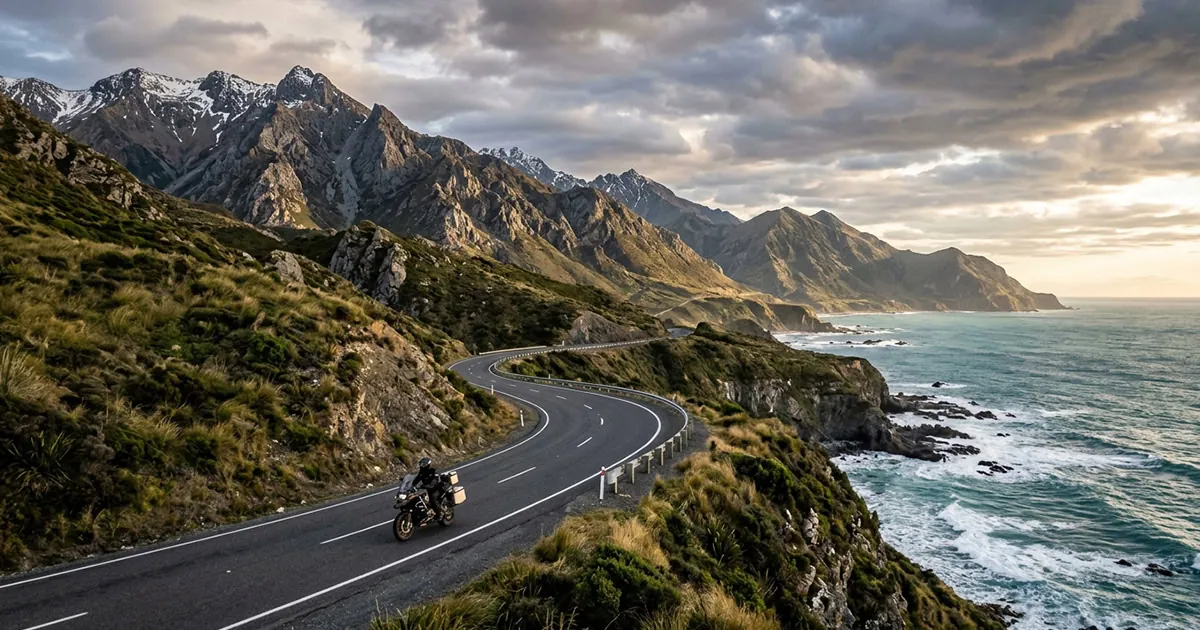
I waited about 30 years to start riding, and the first thing I figured out is that Southern California is almost embarrassingly good for it. The best scenic motorcycle rides out here aren’t some secret. They’re world-famous canyon runs, coast roads, and alpine climbs that riders fly in from everywhere to do. This guide walks you through the marquee routes I actually ride with my crew on Sundays, what skill each one really takes, and which roads are closed right now so you don’t plan your whole day around a chain-link gate.
Quick on where I’m coming from: I’m based in LA, I started at around 50, and I’m not the fastest guy out there. I ride a 2007 Night Train, daytime, weekends, full gear, usually with the crew. So everything below is from a guy who actually rides these roads, not from some list scraped off the internet.
Angeles Crest Highway (CA-2)
Where: Starts in La Cañada Flintridge, climbs into the San Gabriel Mountains. Length: about 66 miles. Skill: intermediate and up.
This is the one. Thirty minutes from downtown and you’re carving switchbacks and big sweepers up to nearly 7,900 feet. The views go from city basin to full-on alpine, and the pavement is just made for two wheels. It’s the closest thing LA has to a riding playground.
Couple of real heads-ups. CHP works this road hard, so watch the ego. The good ones ride like they have something to lose. Fuel gets scarce the higher you go, so top off in La Cañada before you climb (Newcomb’s Ranch, the old halfway stop, is closed, so don’t count on gas or food up there). And winter storms shut sections of the 2 down regularly. Caltrans QuickMap is your friend before you point it uphill.
Pacific Coast Highway through Malibu
Where: PCH along the Malibu coast. Length: about 30 miles. Skill: beginner.
If you’re newer and the canyons scare you, start here. PCH through Malibu is gentle curves, the ocean on one side, and a relaxed pace where you can actually breathe and enjoy it. This was the kind of ride that helped my fear go out the window early on. Nothing technical, just wind, water, and miles. It’s the most beginner-friendly scenic ride in the whole region, no contest.
The classic stop is Neptune’s Net at the county line, where the lot fills up with bikes. I’ll be honest, the first time I rolled in and saw the crowd of bikers I was like, “Dude, I don’t know, man” — but it turned out to be the friendliest scene around. Just expect weekend traffic and you’ll be fine.
Mulholland Highway — “The Snake”
Where: Mulholland Hwy near Cornell, by The Rock Store. Length: about 3 miles of the good stuff. Skill: advanced.
The Snake is the LA Sunday run: a tight tree-tunnel section of S-curves famous enough that you’ll see exotic cars, pro riders, and photographers parked along it. The Rock Store is the meet-up (you might spot Jay Leno on a Sunday morning), and when the whole crew rolls in there together, you light up.
Real talk though: there’s basically no run-off, the crash rate is high, and people come out here to show off. This is not a new-rider road. Build your miles on PCH and Topanga first, then come earn The Snake.
Latigo Canyon
Where: off PCH in Malibu, climbing inland. Length: about 10 miles. Skill: advanced.
Latigo packs something like 160 turns into 10 miles, climbing up off the coast with views that’ll make you want to pull over every other corner. It’s a technical rider’s favorite and one of the most rewarding scenic motorcycle rides in Malibu, when you’re ready for it.
And that’s the catch: steep grade, real consequences, no margin for a lazy line. Treat Latigo with respect. Being aware isn’t the same as being scared. (More on that mindset: how dangerous motorcycles really are — and how to manage the risk.)
Topanga Canyon (CA-27)
Where: connects the Valley to PCH near Santa Monica. Length: about 18 miles. Skill: intermediate.
Topanga is the sweet spot: curvy and genuinely scenic, but more forgiving than The Snake or Latigo, and it’s right up against the city so it’s easy to fit into a half-day. It’s a perfect “next step” road once PCH feels too easy and you want to start working real corners.
It does get narrow with no guardrail in spots, so leave room and don’t outride your sightlines. Great connector, too: run Topanga down to PCH, cruise the coast, grab a bite at Neptune’s Net, and you’ve got yourself a day.
Mt. Baldy Road
Where: up to Mt. Baldy Village in the San Gabriels. Length: about 13 miles. Skill: intermediate.
Mt. Baldy Road is a steep, satisfying climb to a little mountain village, and the Mt. Baldy Lodge up top makes a great breakfast turnaround. It’s a solid intermediate climb with that classic mountain-air payoff at the end.
Big note here: the nearby Glendora Mountain Road and Glendora Ridge Road (the famous loop a lot of folks pair with Baldy) have been closed since the 2024 Bridge Fire. Do not plan a GMR day right now. Check the LA County road closures page before you go, because these mountain roads open and close with fire and weather.
Rim of the World (CA-18) — Big Bear & Lake Arrowhead
Where: the San Bernardino Mountains, up to Lake Arrowhead and Big Bear. Length: roughly a 100-mile loop. Skill: intermediate, and it’s a full day.
Rim of the World is the big day-trip: 50-plus turns, alpine lakes, real elevation, the whole thing. My father-in-law is 74 and still rides his 1975 shovelhead up to Big Bear, so don’t let anyone tell you there’s an age limit on this stuff.
This is where I learned my biggest lesson the hard way. I did a full Lake Arrowhead day, ran 80-plus on the way home with the sun in my eyes, and showed up wiped out. Now I stop every hour and slow down. Pace yourself, fuel up early, and watch for winter snow and ice up there. That day is the reason I wrote up how to plan a motorcycle trip, because the ride home is where these things actually go wrong.
Palos Verdes Drive
Where: the Palos Verdes peninsula, South Bay. Length: about a 15-mile loop. Skill: beginner to intermediate.
Palos Verdes is an ocean-cliff cruise: easy, gorgeous, and a perfect low-stress scenic ride if the mountains feel like a lot. If you’ve got somebody new in the group, this is a beautiful one to walk them in on. Just expect tourist traffic on weekends and enjoy the view.
Scenic routes at a glance
| Route | Type | Approx. length | Skill | Why ride it |
|---|---|---|---|---|
| Angeles Crest Hwy (CA-2) | Mountain | ~66 mi | Intermediate+ | Switchbacks to ~7,900 ft, 30 min from downtown |
| PCH through Malibu | Coastal | ~30 mi | Beginner | Gentle curves, ocean views, best starter ride |
| Mulholland “The Snake” | Tight canyon | ~3 mi | Advanced | Famous tree-tunnel S-curves; the LA Sunday run |
| Latigo Canyon | Technical canyon | ~10 mi | Advanced | ~160 turns in 10 miles off PCH |
| Topanga Canyon (CA-27) | Canyon | ~18 mi | Intermediate | Curvy and scenic, close to the city |
| Mt. Baldy Road | Mountain climb | ~13 mi | Intermediate | Steep climb to a mountain village + breakfast |
| Rim of the World (CA-18) | Mountain day-trip | ~100 mi loop | Intermediate | 50+ turns, alpine lakes, Big Bear & Arrowhead |
| Palos Verdes Drive | Coastal cliffs | ~15 mi loop | Beginner–Int | Easy ocean-cliff cruise in the South Bay |
Not sure where you fit? The quick version by experience level:
| Your level | Start here | Step up to |
|---|---|---|
| New rider | PCH through Malibu, Palos Verdes Drive | Topanga Canyon |
| Intermediate | Topanga, Mt. Baldy Road, Rim of the World | Angeles Crest Highway |
| Advanced | Angeles Crest Highway | Mulholland “The Snake,” Latigo Canyon |
Always check closures first
Look, our roads change with the weather and the fires. That’s just SoCal. Right now Glendora Mountain Road and Glendora Ridge are closed from the 2024 Bridge Fire, Newcomb’s Ranch on Angeles Crest is shut, and the 2 itself takes seasonal hits in winter. Before any mountain day, pull up the LA County road closures page and the Caltrans road conditions. For the National Forest stuff, the Angeles National Forest alerts page lists fire and access closures too. Five minutes of checking saves you a wasted tank of gas.
Current status at a glance, but always verify the morning you ride:
| Road | Status | Note |
|---|---|---|
| Glendora Mountain Rd & Glendora Ridge Rd | Closed | Since the 2024 Bridge Fire |
| Newcomb’s Ranch (Angeles Crest) | Closed | No fuel or food stop up top |
| Angeles Crest Hwy (CA-2) | Seasonal | Storm and snow closures in winter |
| Mt. Baldy Road | Open | The better San Gabriel pick right now |
How to actually ride these — safely
A scenic road only stays scenic if you come home off it. So here’s how I do it: full gear, daytime only, and I almost never ride these solo: finding LA riders to roll with is half the fun. Match the road to your real skill, not your ego. Start on PCH, Palos Verdes, and Topanga, then earn The Snake and Latigo later. On the long mountain days, fuel up early, stop every hour, and keep something in reserve. If you want the full system I use, the complete guide to motorcycle group riding breaks down formation, hand signals, and how to keep a crew tight on a twisty canyon. A solid helmet comms setup keeps everyone talking through the turns.
And honestly, the single biggest upgrade to any of these rides isn’t a part you bolt on. It’s people. The reason I built RideWolf is that I spent 30 years wanting to ride and having nobody to ride with. When somebody in the group drops a route like “Angeles Crest, Sunday, 8am,” you light up. That’s the whole thing, and getting early access to RideWolf is how you start building that crew. You can browse more of these in our motorcycle rides hub, and if you’re still working out the gear-and-bike budget side, we broke that down in the real cost of a motorcycle.
Frequently Asked Questions
What are the best scenic motorcycle rides in Southern California?
The standout scenic motorcycle rides are Angeles Crest Highway, PCH through Malibu, Mulholland “The Snake,” Latigo Canyon, Topanga Canyon, Mt. Baldy Road, Rim of the World to Big Bear, and the Palos Verdes cliffs. They cover coast, canyon, and mountain, so there’s a great ride for every skill level.
Which scenic ride is best for a beginner?
Pacific Coast Highway through Malibu is the best beginner scenic ride — gentle curves, ocean views, and a relaxed pace with easy stops like Neptune’s Net. Palos Verdes Drive is another low-stress option. Save tight technical roads like The Snake and Latigo for after you’ve built real cornering miles.
Is Angeles Crest Highway open right now?
Angeles Crest Highway is usually open in the warmer months but takes seasonal and storm closures in winter, and the old Newcomb’s Ranch fuel stop is closed. Always check the LA County road closures page and Caltrans road conditions the morning you ride, since sections can shut with little notice.
What roads are closed because of the Bridge Fire?
Glendora Mountain Road (GMR) and Glendora Ridge Road have been closed since the 2024 Bridge Fire, so the popular Mt. Baldy–GMR loop isn’t fully rideable. Mt. Baldy Road itself is the better bet for now. Confirm current status on the LA County road closures page before heading out.
How long does the Big Bear motorcycle loop take?
The Rim of the World loop up to Lake Arrowhead and Big Bear runs roughly 100 miles and is a full-day ride with 50-plus turns and real elevation. Plan for fuel and rest stops, pace yourself, and watch for snow and ice in the colder months. Don’t try to rush it home.
This is what I keep coming back to. I spent three decades telling myself it wasn’t the right time, and these roads were sitting out here the whole time, waiting. They’re still here. Pick the one that matches where you’re really at: coast if you’re new, canyon when you’re ready, mountain when you want the big day. Check your closures, gear up, and find some people to ride them with.
I can’t tell you every ride will be perfect, but I can tell you I don’t regret a single one. Put that first foot forward and just go for it. We’ll see you out there. Peace.